
Roseville Previous Residents by Era
Past residents leave different records in different periods. The Ramsey County Recorder and its RecordEASE service supply the official land trail, but the county has not published a precise first year for all online index results. Historic books and microfilm remain part of the route. The St. Paul library collections can show a household in a directory, while census schedules, newspapers, permits, and historic maps supply context. Each source has a separate limit, so the best starting point depends on the date of the address question.
| Source | Years it covers | Where held | What it shows |
|---|---|---|---|
| Ramsey Recorder and RecordEASE | eRecording from 2014; older cutoff not stated | Online route, counter, microfilm | Deed parties, dates, legal descriptions, and instruments |
| Ramsey deed-book finding aid | 1844-1872 | MNHS finding aid and county microfilm | Early land trail and handwritten transcripts |
| St. Paul city directories | 1856-1922 digitized; later physical formats | St. Paul Public Library | Names, streets, occupations, and household clues |
| Federal and Minnesota censuses | Federal through 1950; state 1865-1905 | NARA and MNHS | Household composition and a time-specific location |
| Roseville permits and newspapers | Electronic start not stated; newspapers from 1849 | Accela, city request, and MNHS | Property changes, notices, family, and address clues |
The Ramsey County Recorder office is the source for recorded land instruments and the older-record fallback route.
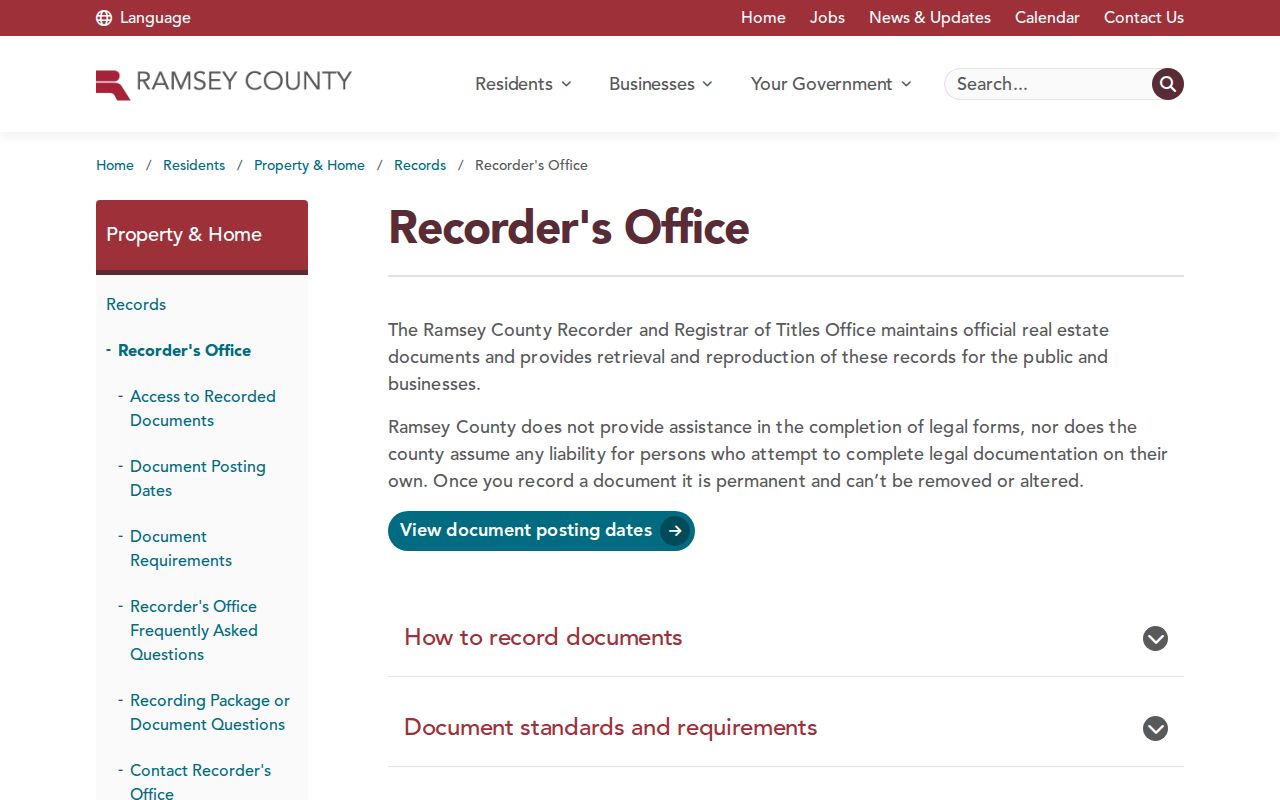
The office route matters when an online result ends at an index entry, a paid image, or an older book. A missing screen result does not end a careful house-history search.
Roseville Deed Trail Starts With a Parcel
Begin with the present parcel rather than a surname. The Ramsey Beacon property search supports address, owner-name, parcel number, and plat-block-lot searching. Its property card can supply the situs address, owner name, mailing address, PIN, and legal description. A situs address is where a parcel sits. A mailing address is where tax correspondence goes, so it does not prove that a person lived at the property. MapRamsey can then help confirm the parcel geometry and ParcelID.
- Copy the PIN, situs address, subdivision, lot and block, legal description, and the date inspected from Beacon or MapRamsey.
- Use RecordEASE to search a recent document by party name, legal description, and date range. Give priority to documents marked “Transfers Title? Y.”
- Record the document number, recording timestamp, grantor, grantee, deed type, legal description, and any referenced instrument.
- Treat the buyer as the current grantee and the seller as the prior owner. Search that seller in earlier years as both grantor and grantee, including initials and alternate spellings.
- When the same parcel cannot be proved from the online index, move to the consolidated index, tract-book material, microfilm, or the MNHS deed-book finding aid.
- Grantor and grantee
- The grantor transfers an interest. The grantee receives it. Those roles reverse as the search moves backward.
- Chain of title
- A documented sequence of transfers for the same parcel, checked through legal descriptions instead of name similarity alone.
- Legal description
- The plat, lot, block, tract, or other land description in the instrument. It is often steadier than a street address in old records.
Keep the legal description at the center of the chain. A deed can cover part of a lot, several lots, an easement, or an unplatted tract. RecordEASE warns that mapped results can omit encumbrances and that a legal description can extend beyond the property selected on a map.
Roseville Previous Residents Need Deed Context
A RecordEASE result is an index record, not a completed ownership conclusion. The visible result fields can include land type, document number, recorded date and time, image availability, the transfer-title indicator, document name, reference documents, grantors, grantees, legal description, and notes. A recorded date marks the indexed public event. The deed may describe an earlier transfer, so compare both dates when the image is available.
The RecordEASE sample-result page shows the fields that should be copied before moving backward to another party or earlier document.
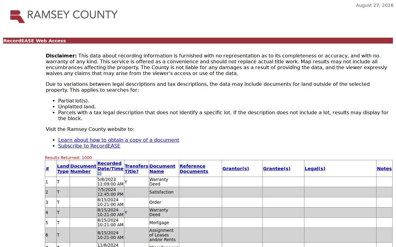
The result layout makes it possible to preserve a document number, named parties, and the legal-description link. It does not replace title research or prove that every indexed person was a resident.
Search trusts, estates, corporations, married names, and individual names separately when they appear in the chain. Stop only after recording why a gap remains, such as an unavailable image, an ambiguous name, a changed legal description, an unrecorded transfer, or an earlier book-and-microfilm route.
Roseville Deed Books Beyond the Portal
Electronic recording began in Ramsey County on April 24, 2014. That milestone does not establish the first year of every online RecordEASE index entry. For older past-resident research, the Recorder reports complete deed records on microfilm with a consolidated index, and the Minnesota Historical Society deed-book finding aid identifies a named 1844 through 1872 series. Ramsey Volume A begins on November 10, 1849.
The Ramsey County Register of Deeds finding aid documents the early volumes available when an online search cannot bridge an old parcel trail.
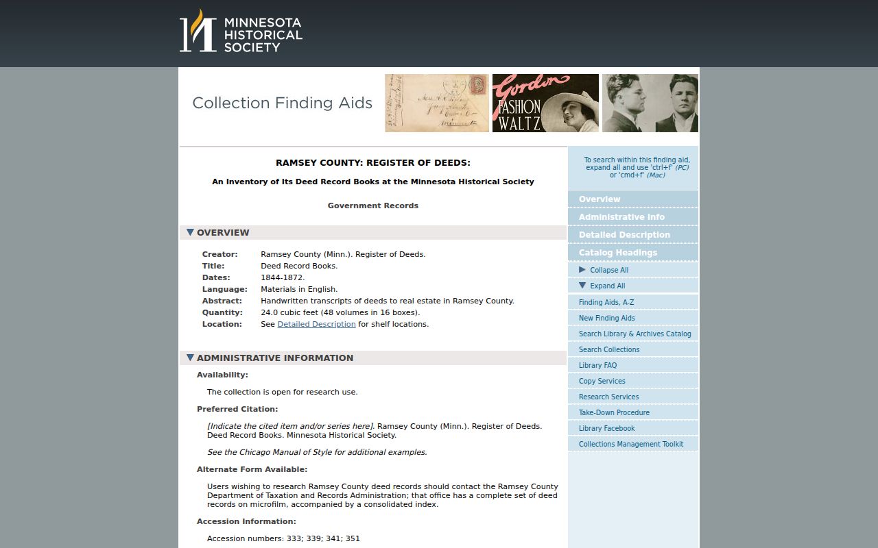
The finding aid gives an archival path rather than a promise of a single name search. Note the volume, page, document number, and legal description so another researcher can reproduce the same trail.
Roseville Address Clues in Permits
Ownership is only one part of a past-residents search. The Roseville Accela permit search accepts street number, street name, parcel ID, dates, permit type, contractor or business information, unit data, and city, state, or ZIP filters. Its results can show Issued, Closed, Finaled, or Expired status. A permit may date construction, an addition, a demolition, or a named project. It does not prove who occupied the address.
When an old address does not match the modern street grid, use the Roseville map collection and the parcel legal description. The city lists 1848 historic plats and a 1931 farm-map overlay. Those maps help bridge rural land descriptions and current streets, while the city has not identified a verified year-specific street-renumbering project.
Note: Historic permit coverage begins at an unverified date, so an older file may require a Minnesota Government Data Practices Act request to the city.
Roseville Previous Residents in Directory Years
Deeds follow owners, but past residents can include renters and other household members. Pair the deed chain with city-directory and census evidence. St. Paul directories are digitized from 1856 through 1922, with later microfiche, microfilm, and print formats at Central Library. From 1929, the library house-history guidance says listings are arranged by street and number. Earlier volumes can be street-only, so nearby names, advertisements, and alphabetic entries matter. The collections themselves are described in the Roseville directory book.
The St. Paul Public Library house-history guide brings directories together with newspapers, permits, historic-site surveys, photographs, and other address evidence.
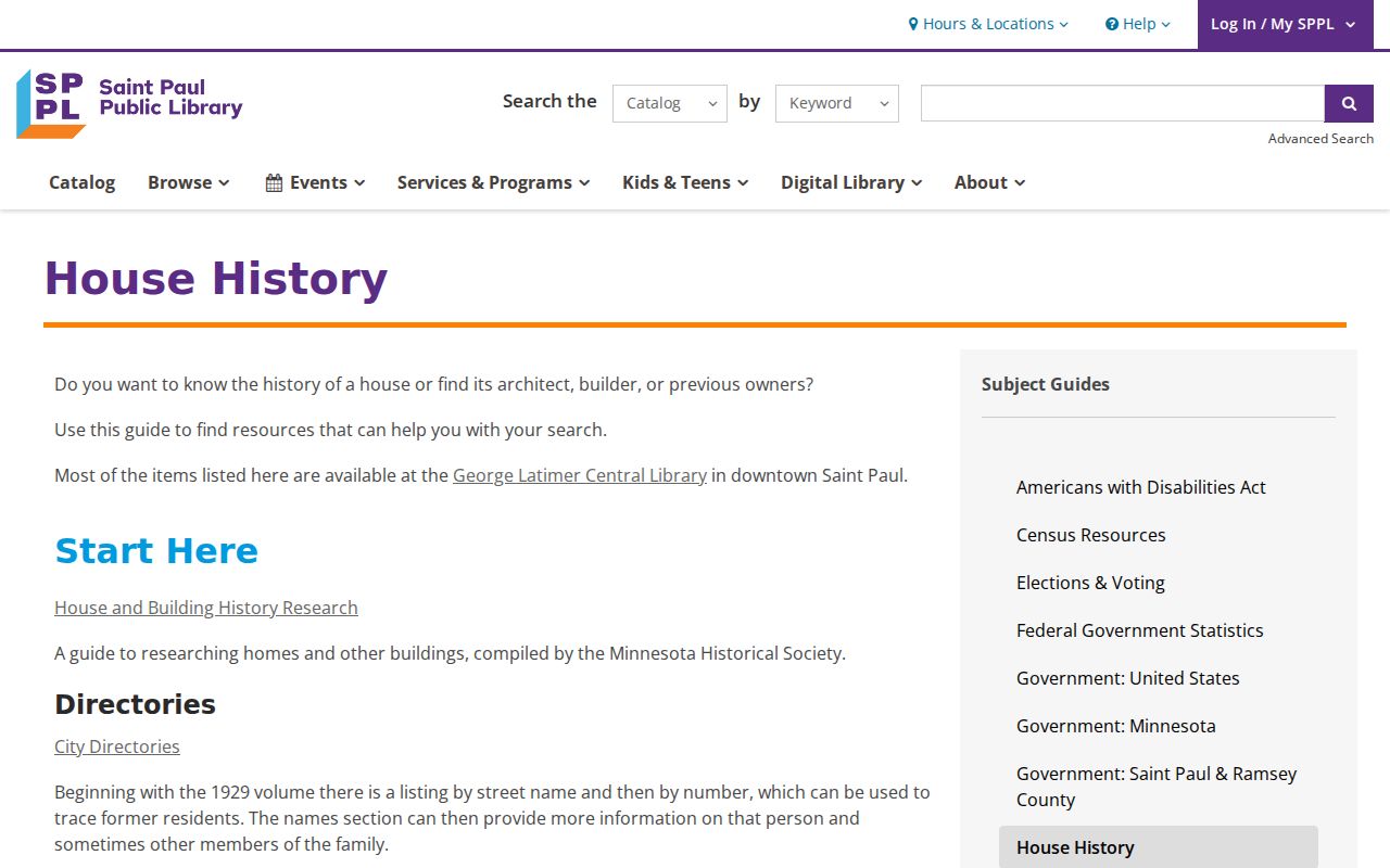
The guide makes a useful checkpoint between land records and household records. It also avoids treating one directory listing as a full resident roster.
- Write down the exact directory spelling, initials, occupation, household notation, address, page, and nearby names.
- Check the preceding and following directory years for a move, a widow notation, a changed occupation, or a different household head.
- Match the span to a federal census through 1950 or a Minnesota state census year from 1865 through 1905.
- Compare the household address to the legal description and parcel chain before joining it to a deed owner.
- Use an obituary, cemetery item, probate record, or permit as an endpoint check when the household disappears.
Roseville Census and Newspaper Matches
Federal census schedules are available through 1950 under the 72-year rule, and Minnesota territorial or state enumerations supply additional snapshots in 1849, 1850, 1853, 1855, 1857, 1865, 1875, 1885, 1895, and 1905. A census is especially useful when a directory lists only one adult. It can add age, birthplace, relationship, and other household facts, while the directory can narrow a move between census dates. The 1890 federal census is a known gap because most schedules were destroyed in 1921.
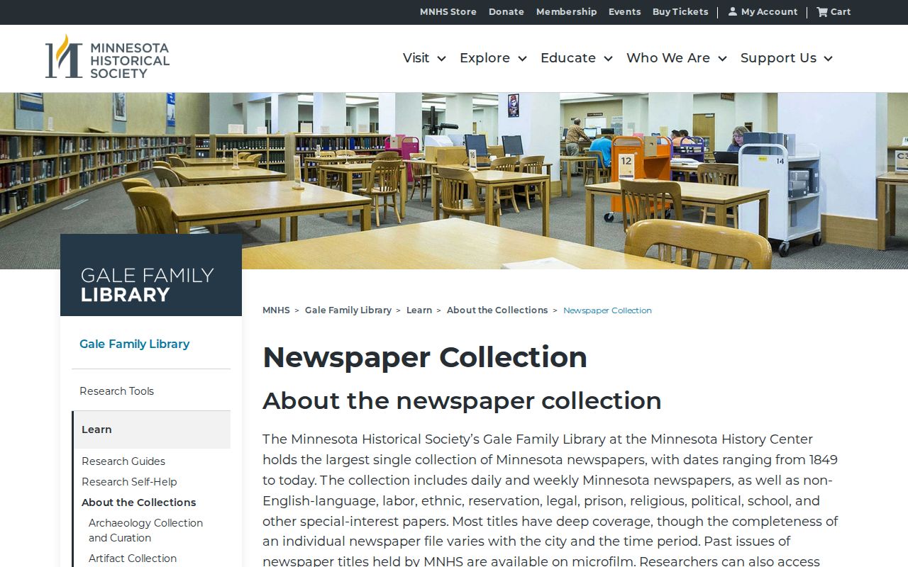
The Minnesota Historical Society newspaper collection supplies a different kind of endpoint. It holds Minnesota newspapers from 1849 to today, and 38 historical titles from 1858 through 1922 are described as keyword searchable.
Obituaries and notices can identify relatives, a church, a cemetery, a former address, or a prior city. Confirm those clues with a deed, probate file, cemetery office, or another primary record.
Rose Township in Older Roseville Records
Older documents may say Rose Township rather than Roseville. Rose Township was established in 1850 and once covered the area that includes modern Roseville, Lauderdale, Falcon Heights, and parts of Saint Paul and Minneapolis. Roseville became a village in May 1948 and a city in 1974. That geography explains why an early deed, census entry, plat, or directory uses a place name that is not the city name used today.
The place name is a search lead, not a substitute for a parcel match. Use old street-only listings, landmarks, plat names, and the legal description together when a past household seems to vanish from a modern address search.
Roseville Past Households and Lawful Research
House history, family history, heir research, and neighborhood curiosity can all require a careful look at prior records. Public access has boundaries. A parcel owner may not be the occupant, a voter record is not an unrestricted street list, and Safe at Home participants have protected address information. Use only the information necessary for a lawful personal purpose, then verify a key record with the office that keeps it.
Lawful use. Roseville previous-resident research is for history and personal records work. Minnesota law prohibits stalking, harassment, or harm; see Minn. Stat. §609.749.
For a current address-by-address record chain, the Roseville street directory uses the modern parcel, GIS, and recorded-document workflow. Keep historical conclusions separate from current personal information.