
Roseville ZIP Codes and Their Postal Footprints
The official Minnesota county and ZIP table lists three ZIP codes for Roseville: 55112, 55113, and 55126. Each is postal geography, not a municipal boundary. The coverage table gives the locally documented relationship for each route and identifies where a complete address still needs verification. No official source located a block-by-block city ZIP map, a local ZIP population total, a unique or PO-box-only Roseville ZIP, or a dated local realignment.
| ZIP code | Roseville relationship | Postal reference | Verification note |
|---|---|---|---|
| 55112 | Northern and eastern Roseville footprint, shared with nearby Ramsey County jurisdictions. | New Brighton Post Office route at 525 Main Street, New Brighton. | Check the full address in USPS and MapRamsey. |
| 55113 | Core Roseville postal area and the Roseville Post Office service point. | Roseville Post Office, 2000 County Road B2 W, Saint Paul, MN 55113-9998. | Postal city and municipal line differ. |
| 55126 | Northwestern Roseville footprint, also associated with Shoreview and North Oaks. | Shoreview route context is documented by the city profile. | Use the parcel and address point to test city location. |
The table is intentionally cautious: the ZIP code directory describes mail geography, while an individual property's jurisdiction must be checked from the full address and county map.
Roseville ZIP Code Directory: 55112
ZIP code 55112 reaches Roseville's northern and eastern footprint and nearby Ramsey County jurisdictions. The research identifies the New Brighton Post Office route at 525 Main Street, New Brighton, as the documented postal reference. That is a useful postal clue, not a line around the city. A 55112 result can involve a neighboring municipality, so confirm it in MapRamsey before using it for a Roseville property, map, or public-record search.
For a historic clue, also account for the older Rose Township geography. Rose Township once covered today's Roseville, Lauderdale, Falcon Heights, and parts of Saint Paul and Minneapolis, which helps explain why older documents can use a different place name even when the land is now in Roseville.
Roseville ZIP Code Directory: 55113
ZIP code 55113 is the core Roseville postal area and includes the Roseville Post Office service point at 2000 County Road B2 W. Its mailing line reads Saint Paul, MN 55113-9998, making it the clearest local illustration of the difference between a postal city and a municipal city. The documented retail hours are 8:30 to 5 Monday through Friday and 9:30 to 1 Saturday, with 24-hour PO-box access, but a postal address remains a mail-routing fact rather than proof of city jurisdiction.
That distinction is especially important when reading a record with a Saint Paul mailing address. Test the situs address and ParcelID in the county map before deciding whether the underlying property belongs in a Roseville search.
Roseville ZIP Code Directory: 55126
ZIP code 55126 covers Roseville addresses in the northwestern footprint and also serves nearby Shoreview and North Oaks areas. The research documents the Shoreview City Hall route at 4600 Victoria Street N, Shoreview, MN 55126. Because the ZIP extends beyond Roseville, a ZIP-only result is too broad for an address, property, or family-history conclusion. Narrow it with a street number, map point, and county parcel record.
Roseville's city profile places it in Ramsey County and notes its borders with Saint Paul and Minneapolis. Those municipal facts are separate from the postal reach of 55126, which is why the ZIP code directory should be read as a starting filter rather than a boundary map.
Roseville ZIP Code Fields in MapRamsey and Accela
Ramsey County's interactive property map is the local GIS route for checking the point behind a postal address. MapRamsey's Primary Addresses schema includes PostalCity, CountyName, ZIP, ZipCode4, MailableAddress, Residence, Status, AddressSource, and ParcelIDNumber. When those fields are enabled in the GIS tools, filtering by ZIP or postal city can narrow an address layer before the parcel is inspected.
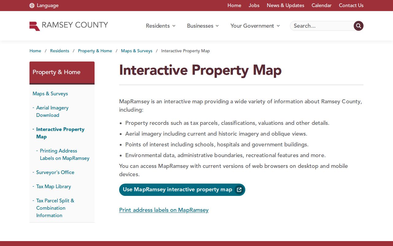
The map is the right place to compare postal fields with parcel geometry. Roseville Accela also accepts City, State, ZIP, street number, street name, and parcel fields, but a ZIP search there returns permit records within its matching address set, not a list of people in that ZIP code.
| Local search field | Source | What it narrows | What it does not prove |
|---|---|---|---|
| ZIP and ZipCode4 | MapRamsey Primary Addresses | Postal attributes on address points when fields are enabled. | Municipal boundary or household membership. |
| PostalCity | MapRamsey Primary Addresses | Mailing locality tied to an address point. | That the parcel lies in that municipal city. |
| ParcelIDNumber | MapRamsey Primary Addresses | Connection from address point to parcel research. | The title chain by itself. |
| ZIP, City, State, Street, Parcel | Roseville Accela General Search | Permit records tied to matching public-system addresses. | All current people in a postal route. |
MapRamsey also exposes countywide ZIP options in its background layers, including 55112, 55113, and 55126. That proves the map has postal geography available, but it does not establish that every listed Ramsey County ZIP serves Roseville. Treat the layers as a way to inspect the verified address, then use the parcel link and local address fields to confirm the municipal result.
Use the Roseville ZIP Code Directory to Narrow an Address
A ZIP filter becomes useful only after it is paired with an address and local jurisdiction check. The county assessor guide describes address, PIN, and plat/block/lot modes with exports, but the captured guide does not document a current Beacon ZIP-field label. Use Beacon for the parcel after the address is verified instead of assuming it provides a ZIP-wide resident result. RecordEASE is likewise for parties, documents, books, and legal descriptions, not a ZIP-wide people search.
The USPS ZIP Code Lookup is the official address-to-ZIP verification starting point for this process.
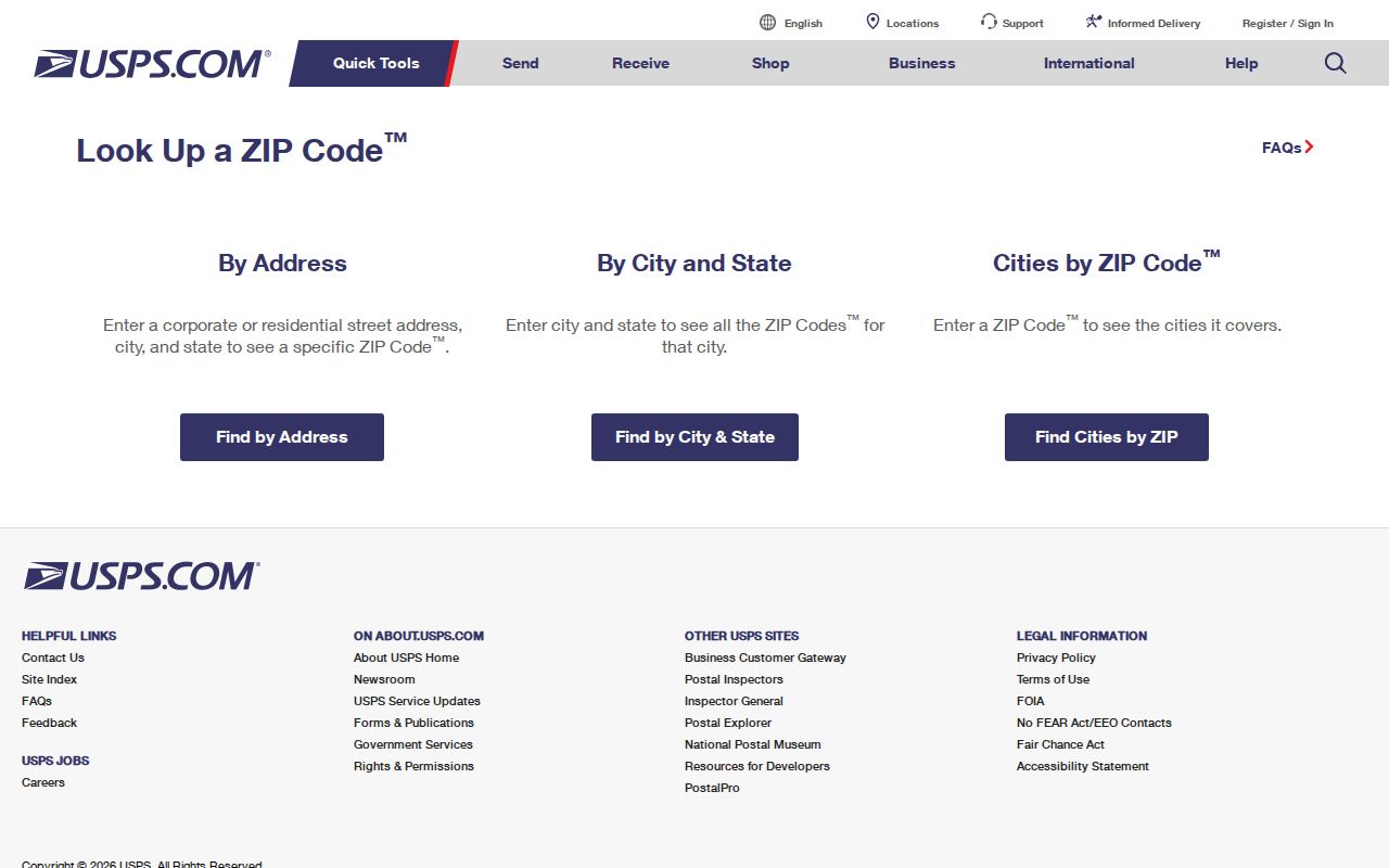
Verify the complete mailing address there first, then test its local jurisdiction with MapRamsey rather than inferring city limits from a postal-city line.
- Enter the complete address in the USPS ZIP Code Lookup to verify the postal ZIP.
- Find the address or parcel in MapRamsey and compare ZIP, PostalCity, and ParcelIDNumber fields where available.
- Use the ParcelID or situs address in Beacon to inspect the county property record.
- Use Roseville Accela when the question concerns public permit activity at the verified address.
- When the ZIP is narrowed to a street segment, continue with the Roseville Street Directory for the parcel and instrument workflow.
This is an address-validation path, not a method for producing a ZIP-wide resident roll. It respects the difference between postal routing, parcel ownership, and protected personal information.
Roseville ZIP Code Searches in MNVotes Need a Full Address
MNVotes has a ZIP Code search mode, but it is an exact address confirmation workflow. It requires a five-digit ZIP, county, city or township, house number, street selected from the jurisdiction list, and a unit number when indicated. The search also uses the person's first name, last name, and date of birth. If there is a match, it returns confirmation and next-step information; it does not expose an unrestricted ZIP directory.
The statewide voter-list request form has geographic report options and a walking list sorted by street, yet that route requires registered Minnesota voter status, certification of permitted use under Minn. Stat. §201.091, and a fee. Protected-voter information can be withheld, and the resulting list cannot be published as an internet-searchable database.
Roseville ZIP Code Boundaries Are Not City Limits
Roseville's postal and municipal geographies overlap but do not match. ZIP codes 55112 and 55126 also identify neighboring municipalities, while a Roseville parcel can carry Saint Paul in the PostalCity field. The Roseville Post Office's own Saint Paul mailing line reinforces the point. Check the complete address in USPS, then check its county GIS point and parcel data before applying a city label to a record.
The Roseville map collection provides city mapping context, including street maps, the address atlas, historic plats, property-tax maps, zoning, and the heritage trail.
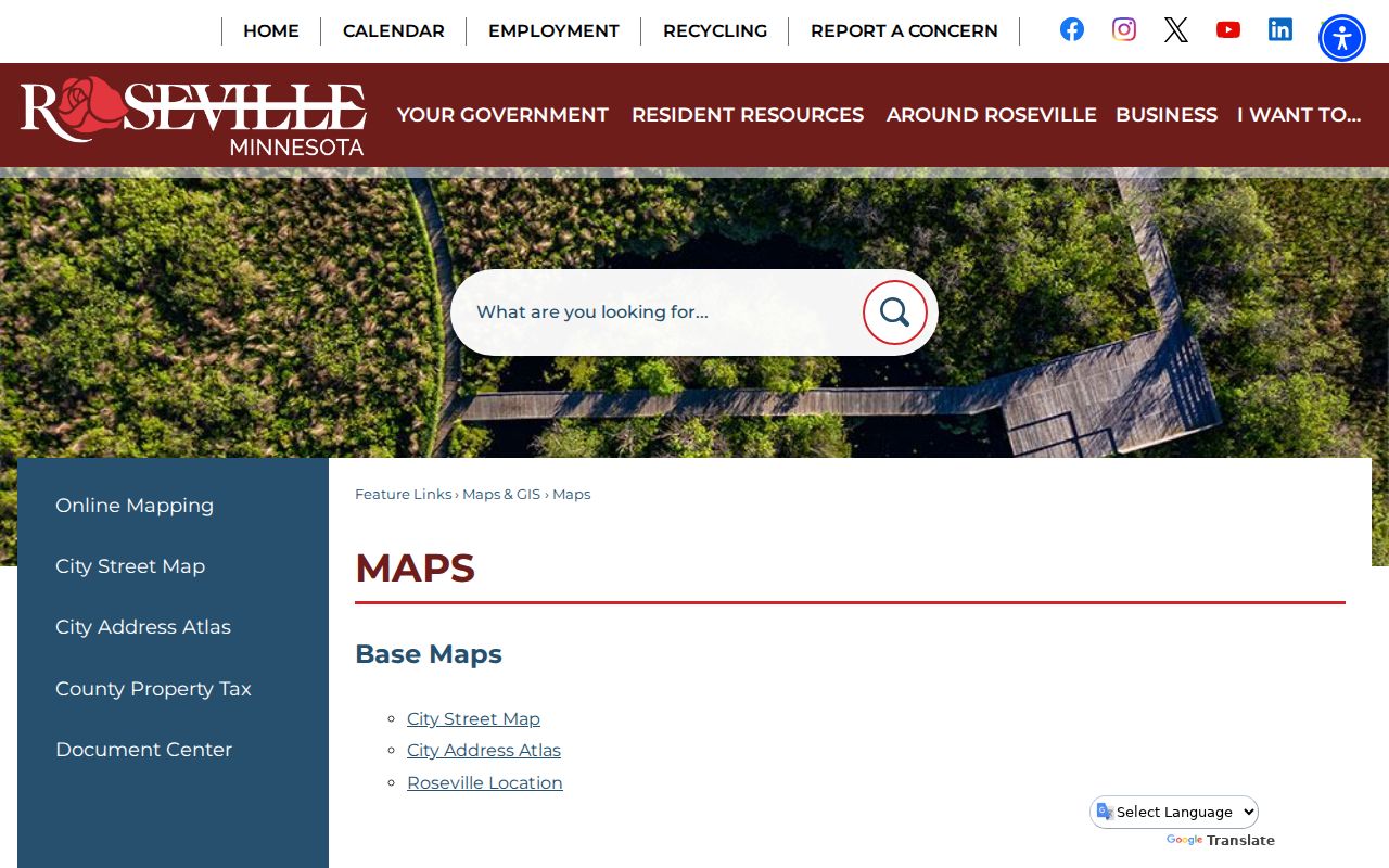
These local maps can clarify the municipal frame around an address, but they do not replace USPS for postal validation or MapRamsey for the county address and parcel check.
- ZIP code and ZIP+4
- A ZIP code directs mail to a delivery area; ZIP+4 adds a more precise delivery segment. Neither is a municipal boundary.
- PO-box ZIP
- A ZIP assigned for post-office box delivery rather than ordinary carrier delivery. No Roseville-specific PO-box-only ZIP was verified.
- Unique ZIP
- A ZIP assigned to one large organization or facility. No verified Roseville unique ZIP was located.
- Carrier route
- A postal delivery sequence within a ZIP area. It is narrower than a ZIP but still does not define city jurisdiction.
Roseville Postal Clues for Historic Research
No official ZIP split, realignment date, or old Roseville postal-boundary map was found, so a research trail should not invent one. When a historical deed, directory, census, or permit uses a different place name, search Rose Township, Roseville, and Saint Paul variants. The former township, later incorporation, rural farm parcels, and later subdivisions can put the same land under different labels across time.
For a property history, retain the legal description and ParcelID beside the postal ZIP. The legal description is the recorded land identity and survives changes in postal conventions better than a city or ZIP label alone.